

 3.5 km
Photo: Tuxyso (Wikimedia Commons) · CC BY-SA 4.0
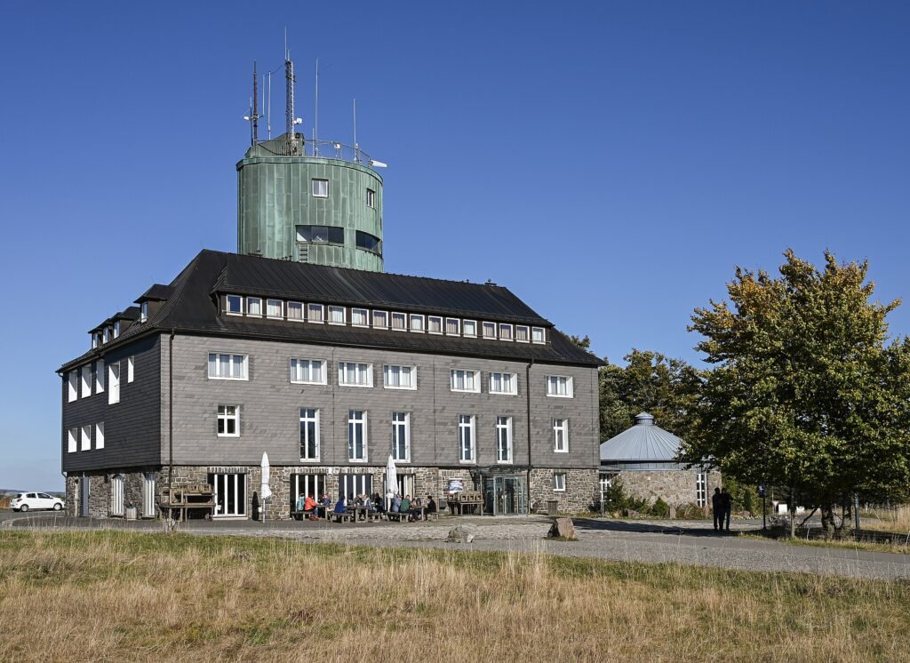
Kahler Asten met Astenturm
- Today
- Closed · opens 11:00
Head for the top: from the Astenturm on the Kahler Asten, the views stretch far across the Hochsauerland, with protected heathland all around.
- Address
- Astenturm 1, 59955 Winterberg, Germany
Tip from Hotel Winterberg: On a clear day there is a wide view over the Sauerland; bring a jacket, it is often windy at the top.
About this outing
At 841.9 metres, the Kahler Asten is the highest summit lying entirely within North Rhine-Westphalia. On top stands the Astenturm, a stone lookout tower that opened in 1895 and was restored after heavy damage in 1945. On a clear day the platform gives you a view of the wooded ridges of the Sauerland in every direction.
Inside the tower you will find a restaurant, a weather station where measurements have been taken since 1918, and a small nature exhibition about the heathland and winter sports on the mountain.
Around the summit lies the Hochheide, an open heathland of heather and dwarf shrubs that has been a protected nature reserve since 1965. By staying on the paths, you help protect this fragile area. Just below the summit is the source of the Lenne, the highest spring in north-west Germany, and well-known hiking trails such as the Rothaarsteig cross the mountain.
The weather up here is often different from the valley. On average it is a few degrees cooler, fog is common and in winter there is often snow. So bring a warm jumper or jacket.
Opening hours
- Mon
- closed
- Tue
- closed
- Wed
- 11:00–17:00
- Thu
- 11:00–17:00
- Fri
- 11:00–17:00
- Sat
- 11:00–17:00
- Sun
- 11:00–17:00
Practical information
- Distance
- 3.5 km as the crow flies from Hotel Winterberg
- Price
- € 1.00 per person
- Good to know
- Suitability for children unknown
- Unknown whether dogs are allowed
- Wheelchair access unknown
- Data
- Opening hours checked on 1 November 2026 via https://www.winterberg.de/poi-detail/astenturm-3582/
Getting there
Open directions from your accommodation or your current location. Your maps app calculates the route.